Here are some pointers and directions for how to bike from Kumamoto to Yamaga along the Yuka Family Road. The Yuka Family Road is a bike and walking path that goes the whole way between the two cities. It is quite reasonable to bike the whole way, but just remember that it is a long trip, and you will probably be doing the return journey as well.
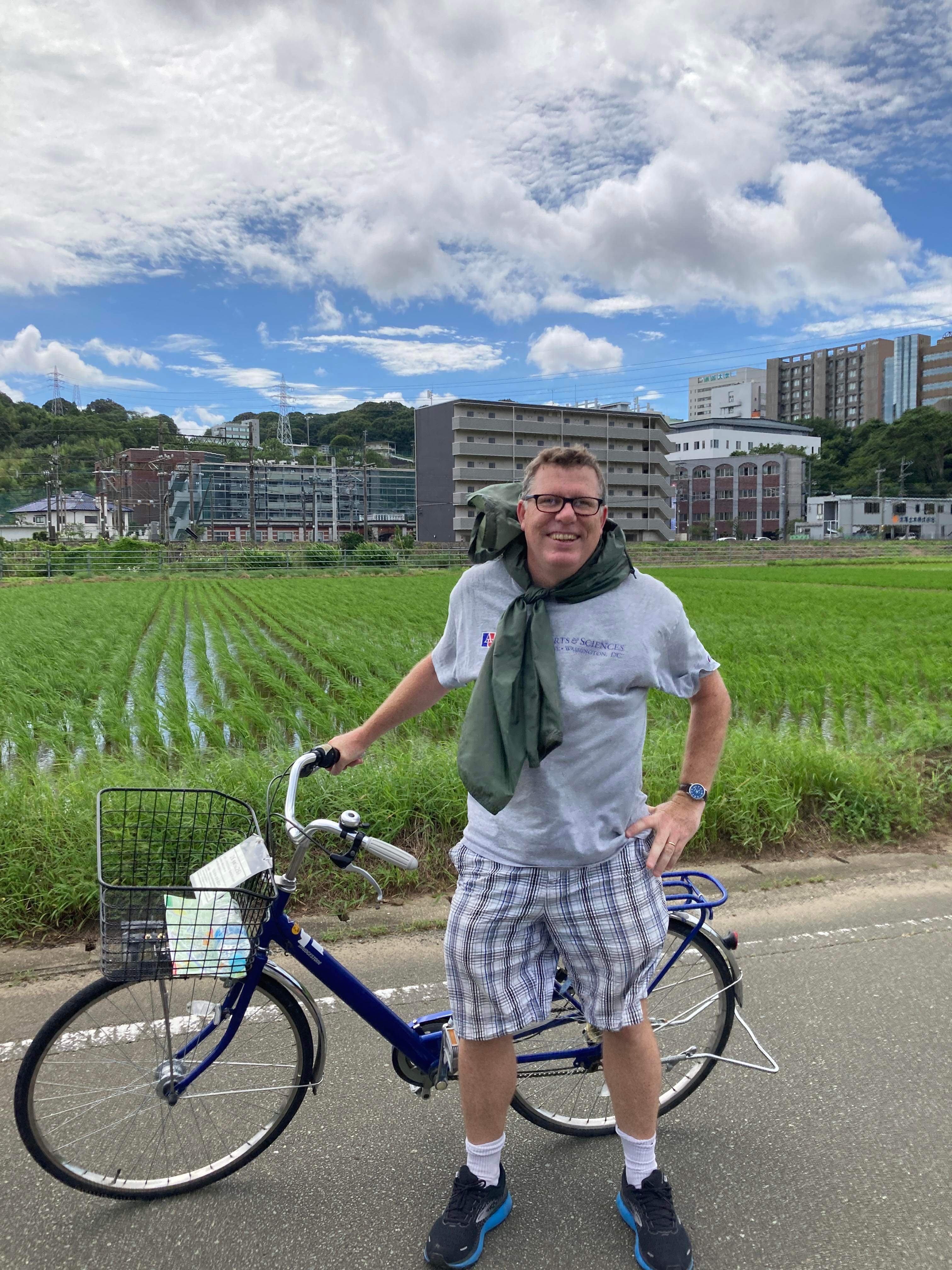
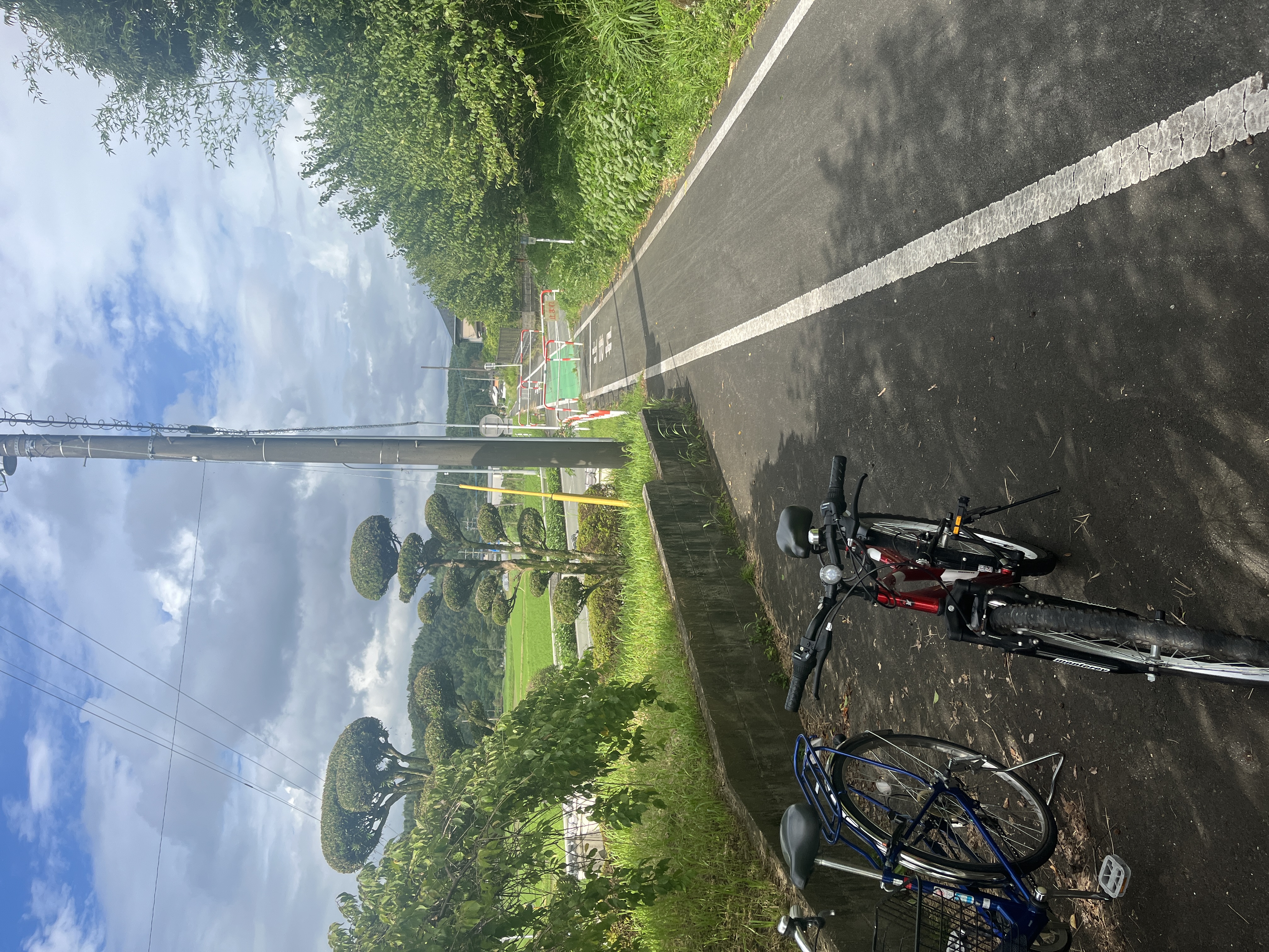
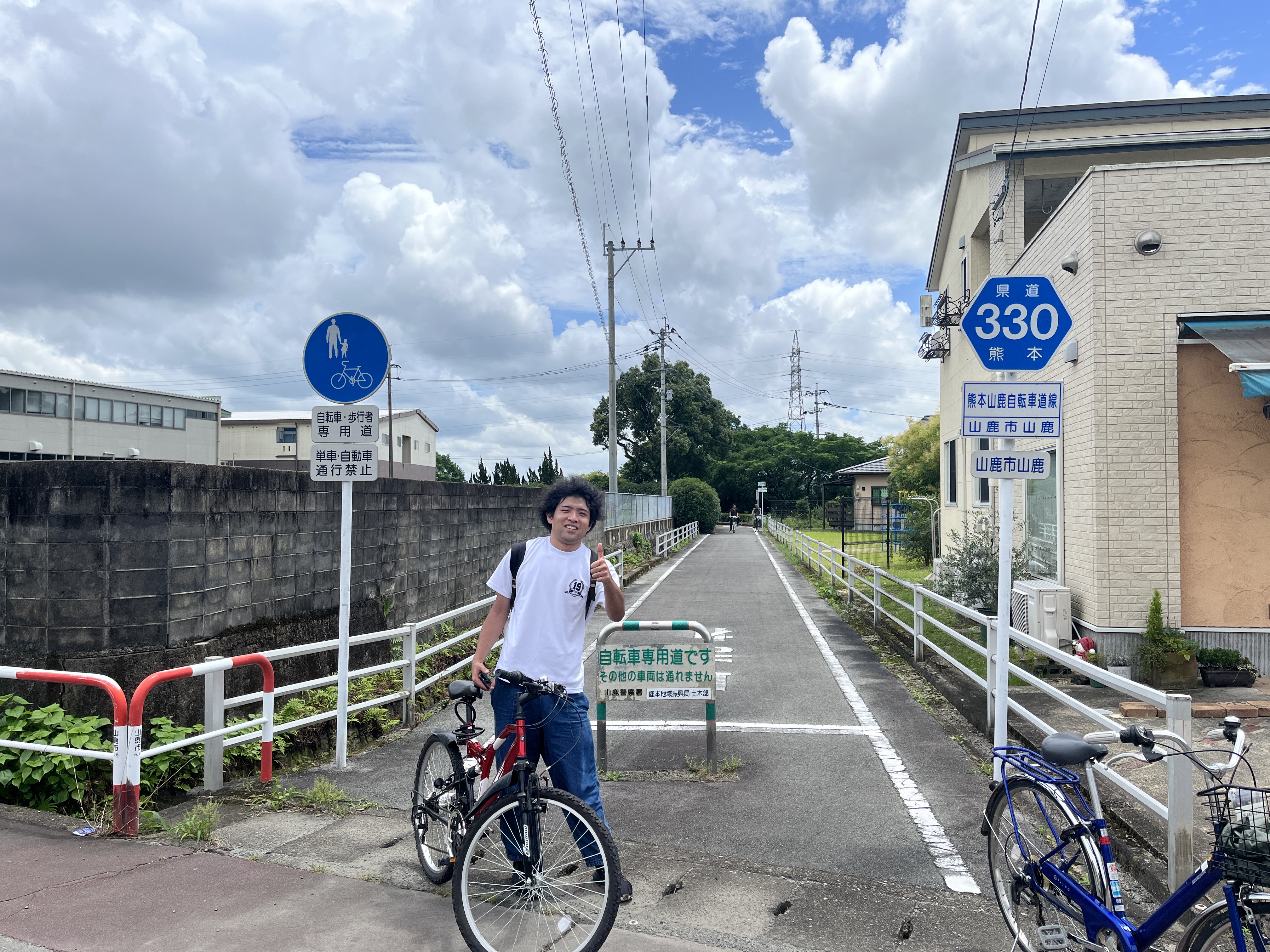
Left: The author on the road in Kumamoto; Center: Scene along the path; Right: Biking companion Yuta after we reached the end of the road in Yamaga.
Get a bike.
First, get a bike. The Kumamoto International Center rents bikes for 800 yen per day (as of 2023). A good deal. You can get an electric, power-assisted bike for 1000 yen, but I suspect the battery would deplete before completing the full trip and you'd be stuck. So, I opted for the regular granny style bike.
Get to Kami Kumamoto Station.
Next, get yourself to Kami Kumamoto station. You can essentially follow the tram line north from the Kumamoto International Center, and it is about a 20 min ride through the city. Note that at one short section of the tram just past the bridge over the Tsuboi River there is no road or a car or bike along the tram path, so you'll have weave around it to the right and meet up with the tram line again at an intersection a few hundred meters past. Just follow the cars on the main road, bearing left, and you'll get to the intersection.
Get on the path from Kami Kumamoto Station.
Once at Kami Kumamoto Station, go to the western side of the station (the side with the Shinkansen track, which is the side opposite of where the main road traffic and main entrance are). On the far (western) side of the Shinkansen overhead track, there is a small car park area with a road leading out from the car park to the west from the southern side of the car park. The car park is right next to the station itself and abuts the Shinkansen overpass, so it should be immediately visible once you get out to the western side of the station. Take this road out from the car park going west and make your way along the road toward the river (the Iseri River). The river is close, maybe 100 meters or so from the car park. At that point, there is a bridge, and before you cross, take a right on the bike track and road heading north. Technically this is route 330 on the map. The paths might be a bit confusing here, but after about a block you will see the Sanyo driving school parking lot on your right, and then the bike path starts in earnest after this and follows the Iseri River north with just a stone wall separating the bike path from the river.
Follow the path out of Kumamoto City.
Once on the bike road you will follow the river for a while, and there should be some signs indicating you are on the right path. It becomes rural quite quickly. In any case, it will be a clearly marked bike path.
Be aware of a confusing path change near Ueki.
Take this path for a while, and along the way you will parallel the river and later a JR train track. After some number of km (perhaps 10), you will encounter a nice bamboo forest (good for photos) and then go over an overpass (maybe over a tunnel? but whatever goes under is not visible). For the overpass you will need to walk your bike up a bunch of steps, and then down the steps on the other side. This occurs right next to the JR train track. This is an important landmark since just after this point (a few hundred meters), you will get near Ueki station and it gets a bit confusing: if you stay on the path, it dead ends at a road, and to the right you will see a sign up the hill for Ueki Station, pointing left along a road, which is to the west (this is to the left as viewed from the dead end, which is located south of the sign). In any case, the trick if you have reached this point is to backtrack slightly east from whence you came (maybe 100 m) and look for another bike path spur that goes up a hill, which continues the Yuka Road. This connecting point between the path you were on and the one you want is located right under a huge green sign on your right (up the hill) as you are biking from Kumamoto. The new bike path spur points in the exact opposite direction of the original path so there is no way you would intuitively know this is the correct way to turn (a 180 degree turnabout). This was a bit hard to find, but it is close to the dead end, so if you make it to this spot you are in the right vicinity.
Take the uphill path to Ueki.
Follow this path up a hill through a forest until you reach the village of Ueki. Note that this is a significant climb for perhaps a km or two. Once you reach the village, there is a Family Mart along the path near the center of the village (the path runs right behind the Family Mart). This is a good marker of where the path continues north (you can just follow the path easily if you make it this far; there are good signs).
The road to Yamaga.
Now you are going to head north on the path, and the path becomes a bit more clearly marked as a standard bike path. You can just follow this straight into Yamaga. In Yamaga it abruptly ends at a road. So, there you are. You can explore Yamaga by biking a bit around some streets, and I recommend Cafe Banana (near the downtown center) for a nice banana and coffee smoothie. But in any case it is about 35 km total from Kami Kumamoto to Yamaga. Also, don't forget that you will have to bike all the way back at some point!

A note about the wind.
It can be windy during the whole trip, so just take note of which way the wind is blowing when you leave. You will have to fight it on the return trip back it if the wind is helping you on the way there.